Point Scale Factor and Grid Convergence
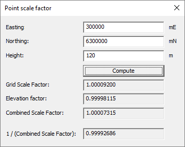
Point Scale Factor
The scale factor is the relationship between the measured survey distance (reduced to the ellipsoid) and that
same distance on the map projection and is applied to the measured distance to enable computations
on the grid. Scale Factor will vary with the distance of the survey from the Central Meridian.
For many applications the usual practice is to compute the scale factor at particular points of the survey, this is called Point Scale Factor.

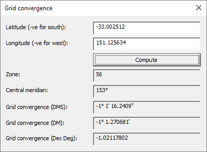
Grid convergence
Grid convergence is the angular quantity to be added algebraically to an azimuth between points of
known latitude and longitude on the ellipsoid to obtain the grid bearing.

Additional reading
For further information about both topics, please see the document titled "The Map Grid of Australia 1994, A Simplified Computational Manual", which was published by the State of Victoria, Australia.
Coordinate Master

