General info
Goulburn River National Park is located in the upper Hunter Valley near the towns of Sandy Hollow, Denman, Merriwa, and Mudgee. Many access points to the river involve crossing private lands, so permission from land holders must be sought. However, the river can be accessed from the designated NPWS campsites without crossing private property. Use the Mount Misery 1:25000 topographic map and other surrounding maps.Lees Pinch, on Ringwood Road, has a short walking track to a lookout with good views over the park. The nearby White Box camp is a small undeveloped clearing where car-based camping is allowed. Better campsites are available on Mogo Road, about 22kms north of Wollar. These are Spring Gully camp (2WD access) and Big River camp (4WD access only). Both are located on the edge of the river, have fire places with BBQ plates, and have pit toilets. Also along Mogo Road is the Kelly Gap trail which includes an historic section of road (walking access only).
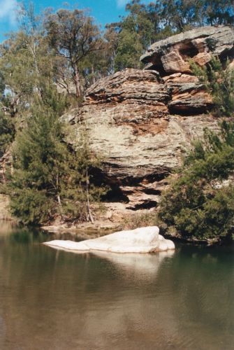
Walking along the sandy banks of Goulburn River is relatively easy and it is surrounded by interesting rock outcrops and cliffs. However, due to the long history of farming in the area there are a number of weeds growing along the banks in places including noogoora burr, spiny burr grass, blackberry, and prickly pear. Wildlife is plentiful in the area including kangaroos, wombats, and emus.
The park is apparently rich with Aboriginal sites, including cave paintings and occupation deposits. Another interesting feature is the prominent basalt peak of Mt Dangar in the east end of the park. This mountain is supposed to have great views over the Hunter Valley.
 |