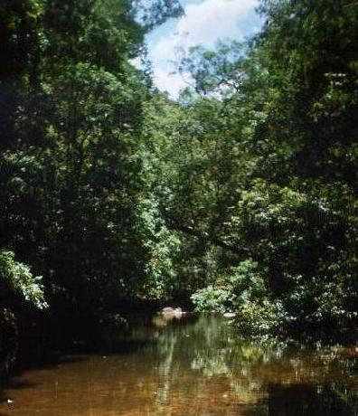
Popran National Park
Emerald Pool
General info
Popran was only declared a national park in 1994, and not many people know of
its existence. It lies between Wiseman's Ferry Road and the Sydney-Newcastle
(F3) freeway.
Ironbark Rd, near Mangrove Mountain, provides access to the northern section of
the park. Popran Track provides access to the pretty Popran Creek, while
continuing along Ironbark Rd leads to the Mt Olive and the Emerald Pool tracks.
Towards the end, Ironbark Rd becomes steep and may be unsuitable for 2WD
vehicles. A leaflet which is available from the NPWS contains a sketch map
of these trails.
There are also a few fire trails near the F3 freeway which provide walkers
with access to the southern section of the park.
Some walks
| Walk | Duration* | Circuit** | Access
|
| Popran Creek | 2-3 hours | No | Ironbark Rd, Mangrove Mtn
|
| Mount Olive | 1 hour | No | Ironbark Rd, Mangrove Mtn
|
| Emerald Pool and 248 track | 4 hours | Yes | Ironbark Rd, Mangrove Mtn
|
| Big Jims Point | 3 hours | Yes | Old pacific highway,Mt White area
|
* = Durations are approximate only and assume a reasonable level of fitness.
Unless otherwise stated, all times include the return walk.
** = A circuit is where the outward and return legs of the walk follow different routes.
Popran Creek
Links


