The Railway Dams Narara/Somersby
Last updated August 2014
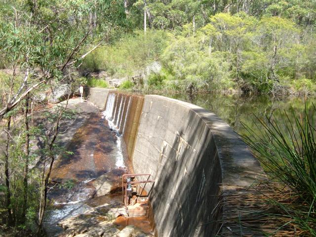
Wall of the upper dam (2008)
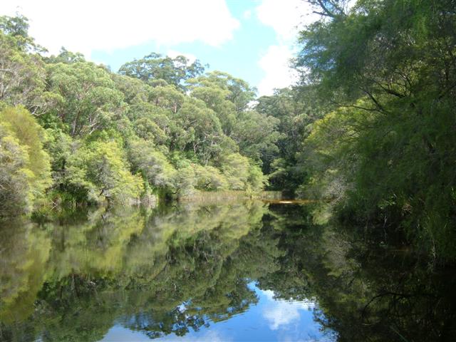
The upper dam (2008)
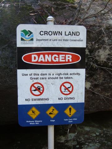
A sign at the upper dam (2008)
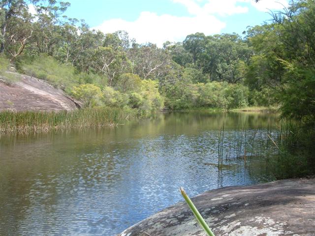
The lower dam (2008)
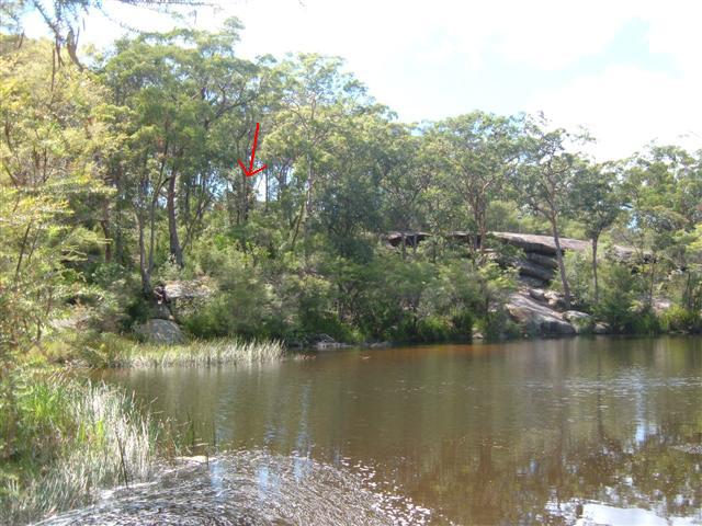
Lower dam - the new house is through the trees on the left. (2008)
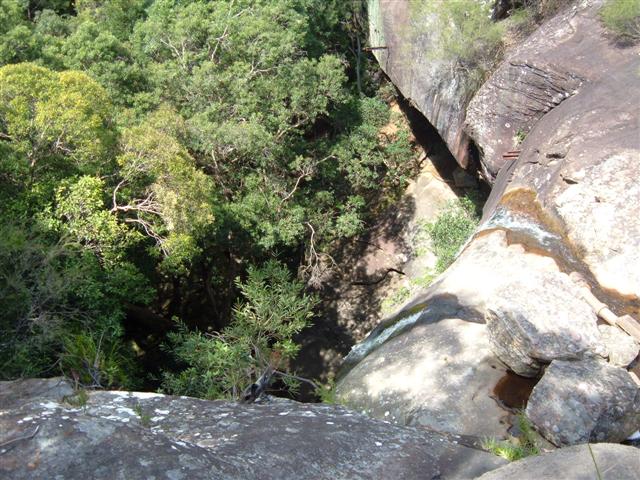
Looking over the drop below the lower dam, showing the iron girders which used to support the pipeline at top-right (2008)
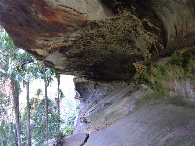
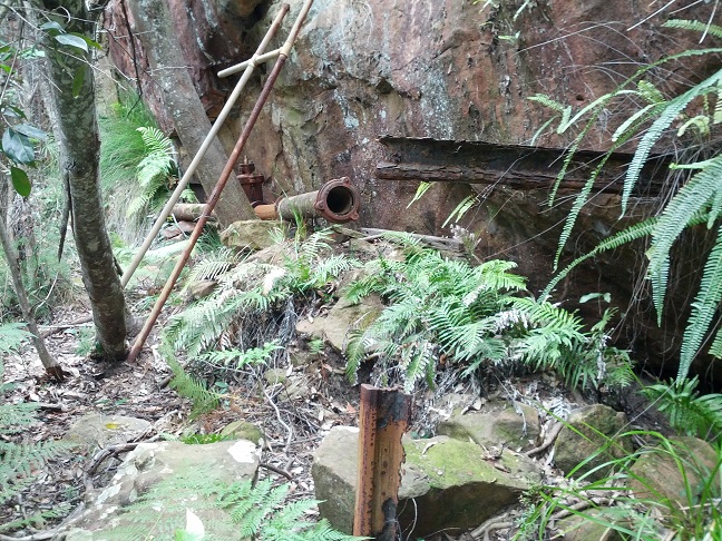
A cave to the north side of the valley below the lower dam (2008)
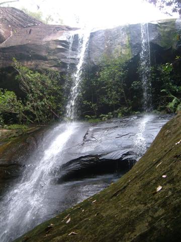
The waterfall below the lower dam (2008)
The start of the remaining pipeline below the lower dam (2014)
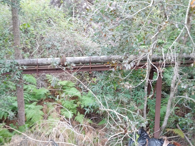
An elevated section of the pipeline visible at the end of Narara Creek Road (2014)
Back to the railway dams page.