General info
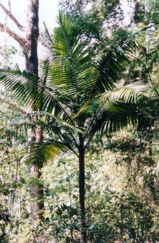
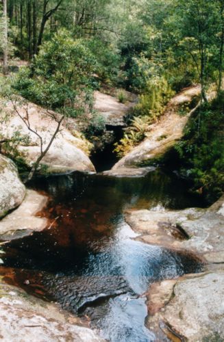
The Watagan Mountains are located west of Newcastle, close to the town of Cooranbong. This scenic area has been state forest for many years, but part of the area has recently been included in the new Watagans National Park.Features of the area are mossy gullys and richly forested hills. Due to the geology of the Watagans, the vegetation is quite different to the sandstone country typical of other national parks in the area. Walking off-track in the valleys is challenging due to the thick rainforest vegetation, and leaches. However, there is a good network of roads and walking trails.
The main access points to the Watagans are Martinsville Road and Mount Faulk Road (both near Cooranbong), and Walkers Ridge Road (near Bucketty). There is also the Watagan Forest Road which runs the complete length of the Watagans between Wyong and Cessnock.
Highlights of the area include Boardhouse Dam, Gap Creek Falls and numerous excellent lookouts. Many of the scenic locations have picnic and/or camping areas nearby. Most picnic and camping areas have fire places with steel BBQ plates, water tanks, and toilets.

